


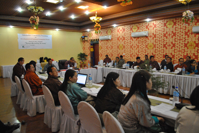
A stakeholder’s consultation workshop on the development of Geospatial Portal was organized on March 25, 2014 at Hotel Migmar in Thimphu. It was jointly organized by ICIMOD and National Land Commission . 34 participants including members of the Centre for GIS Coordination in Bhutan and ICIMODE participated. The workshop was co-chaired by Hon’ble Secretary of National Land Commission and Director of Strategic Cooperation of ICIMOD.
 Mr. Tenzin Namgay, Member Secretary, Centre for GIS Coordination (CGISC), in his welcome remarks thanked all CGISC members for their participation and ICIMOD for supporting NSDI development initiatives in Bhutan. He explained the role of CGISC and briefly touched on the status of GIS activities in Bhutan.
Mr. Birendra Bajracharya, the Head of Mountain Environment Regional Information System of ICIMOD highlighted the background of SERVIR Himalaya program and its role in the promotion of GIS applications within the Hindukush region, which was founded on the idea of building synergy and catering to the needs of decision makers. He explained the objectives of the workshop and sighted it as a critical component of developing geospatial portal. He briefly explained the framework and components of geospatial portal and summed up by stating that users are centre to any GIS initiatives and system developments.
Mr. Basanta Raj Shrestha, the Director of Strategic Cooperation of ICIMOD agreed that it is good to talk about GIS in terms of enabling the societies, which incidentally was also the theme of the workshop. He informed that elsewhere in the world GIS has already become the game changer, where data is seen as infrastructures like roads and bridges, which is commonly referred as national spatial data infrastructure (NSDI). He was glad to observe that Bhutan has a vibrant GIS society and GIS has become a common denominator for different agencies. He felt that data standardization, inter-agency collaboration and framework for data sharing mechanism are vital components of successful GIS activities.
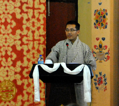
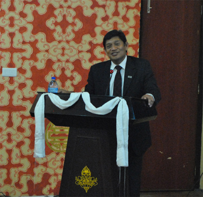 Dasho Pema Chewang, Hon’ble Secretary of National Land Commission formally accepted the post of the Chairman of the CGISC of Bhutan. He agreed that t
here are numerous limitations of compartmentalized GIS approaches and that Bhutan needs to work in terms of technology and capacity developments. Dasho urged the members of CGISC not to indulge in duplicate efforts, thereby wasting scarce resources. He asked everyone to think in a broader perspective and work towards data and resource sharing. Dasho assured that all possible steps will be taken to enhance national spatial data infrastructure (NSDI) development, particularly for building geospatial portal that is envisaged to be a single most important initiative that will have far-reaching positive implications. Finally, Dasho suggested to explore all possible means to expedite the work and requested for serious commitments from all stakeholders. Finally, Dasho thanked ICIMOD for support and cooperation.
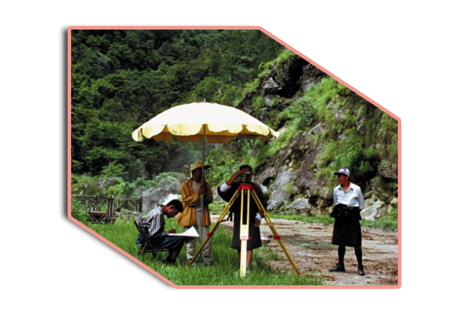
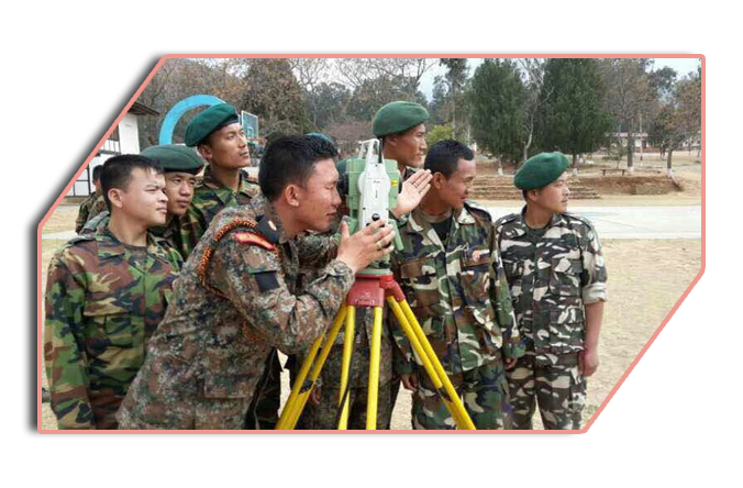
Mr. Yeshi Dorji, the Head of Urban Land Division, presented on national initiatives on spatial data and information systems in Bhutan. He presented major milestones in terms of topographical, geodetic and cadastral surveying since early 1940s and highlighted major GIS initiatives, constraints, trends and opportunities.
Reported by Yeshi Dorji